
INTRODUCTION:
Upon
reading the title of this report, one might think that the word “Howk” is a
misspelling of “Hawk”. But, such is not
the case. Located near Randolph, NH is the
Howker Ridge which was named after William Howker, a 19th century farmer who
owned land at the base of the ridge.
Along this ridge are four rocky knobs which have come to be known as
“The Howks”.
On a day
in late-June 2018, I only had enough time for an out-and-back hike to the
“Fourth Howk” which sits above tree line at an elevation of 4,315 ft. This isn’t a conventional destination for
most hikers, but it was a good fit for me on this particular day.
The
round-trip mileage for this trek was about 5.8 miles with an elevation gain of
about 2,750 ft. At a leisurely pace and with
multiple stops for sightseeing, the round-trip took about 5 hours. This relatively modest adventure was launched
from the Pine Link trailhead on Dolly-Copp Road. I hiked 2.8 miles on the Pine Link trail, and
then an additional 0.1 mile on the Howker Ridge Trail to reach the Fourth Howk.
From the
Fourth Howk, one could continue onwards and upwards to reach the top of Mt.
Madison. However, that wasn’t my
destination on this particular day. To
my way of thinking, it’s sort of like when you get on an Interstate
Highway. Once you’re on it, you’re not
obliged to travel all the way to its terminus.
It’s perfectly okay to end your journey at any point along the way. :-)
 |
| My route of travel for this hike is highlighted in pink on LEFT panel of the image shown above. The RIGHT panel shows the four Howks circled in pink. |
PHOTOS:
 |
| Mt. Madison as viewed from an outlook along the lower portion of Pine Link Trail |
 |
| This photo of the rocky knobs known as “The Howks” was taken from a spot along the Pine Link Trail. |
 |
| Zoomed view of Carter Notch from an outlook along the lower portion of Pine Link Trail |
 |
| From an outlook along the Pine Link Trail, I took this highly-zoomed photo that features the cliff face of Rogers Ledge, and behind and to the left of it are the cone-shaped peaks of South and North Percy. |
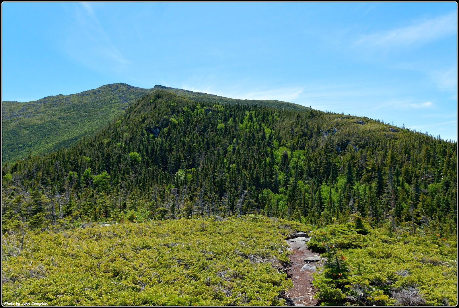 |
| This photo is just a random shot taken along the trail while en route to Fourth Howk |
 |
| I took these snapshots of Mountain Cranberry and Labrador Tea which were in bloom at various points along my route. |
TO SUM IT UP:
Traditionally,
many folks think that a hike needs to involve a journey to a named destination (mountaintop,
ledge, waterfall, etc) that’s described in a guidebook or is contained on some
sort of a list. However, there are times
when these conventional objectives are a poor fit because of factors such as
time constraint, etc. So, perhaps this
blog posting will serve to demonstrate that by doing some “out-of-the-box”
thinking, it’s quite doable to construct a satisfying hike to custom-fit your particular
needs.
2 comments:
Many of my hikes in the west lead to a particular destination such as a lake, an arch, or a canyon overlook. This post is a reminder that "out-of-the-box" thinking while hiking can lead to a satisfying outcome. It's worth remembering that many times the journey is as worthwhile as the destination!
Hello again Rita,
We are in total agreement about the ‘journey’ often being as worthwhile as the ‘destination’. I have many ‘un-blogged’ adventures where I experience great pleasure and satisfaction from hiking to nowhere in particular.
John
Post a Comment