INTRODUCTION:
In
mid-May 2018, I did another one of my oddball adventures. This one was located a bit south of New Hampshire’s Crawford Notch area, and it involved
a bushwhack to a rocky outcropping along the spur of Mt. Bemis that projects
northeasterly toward Davis Brook.
Exciting stuff . . . yes? :-)
PHOTOS:
 |
| Google Earth image showing my destination circled in yellow. (Please note that this image is oriented such that WEST is at top, rather than more traditional NORTH at top positioning for most maps.) |
 |
| At the beginning of the bushwhack, I stopped for a quick peek of lower end of Davis Brook. (Just as a possible note of interest, further upstream there are some awesome waterfalls!) |
 |
| There was pleasant bushwhacking through open hardwoods for the vast majority of the trek. However, it was steep . . . about 1,100 ft elevation gain over a total distance of about 0.8 mile. |
 |
| This photo was taken just before beginning my final ascent through the woods along side of the slab/ledge/cliff, or whatever you want to call it. (And perhaps it should be noted that the photo only shows the bottom portion. There's more above that is unseen here.) |
 |
| From the top of the ledge, there is this “triple-play” vista that includes three of the “NH 52 With-a-View peaks” (from L to R are: Stairs Mountain,; Mt. Resolution; Mt. Crawford). Loved seeing the ‘spring-green’ of the hardwoods at the lower elevations! |
 |
| Zooming in on Stairs Mountain |
 |
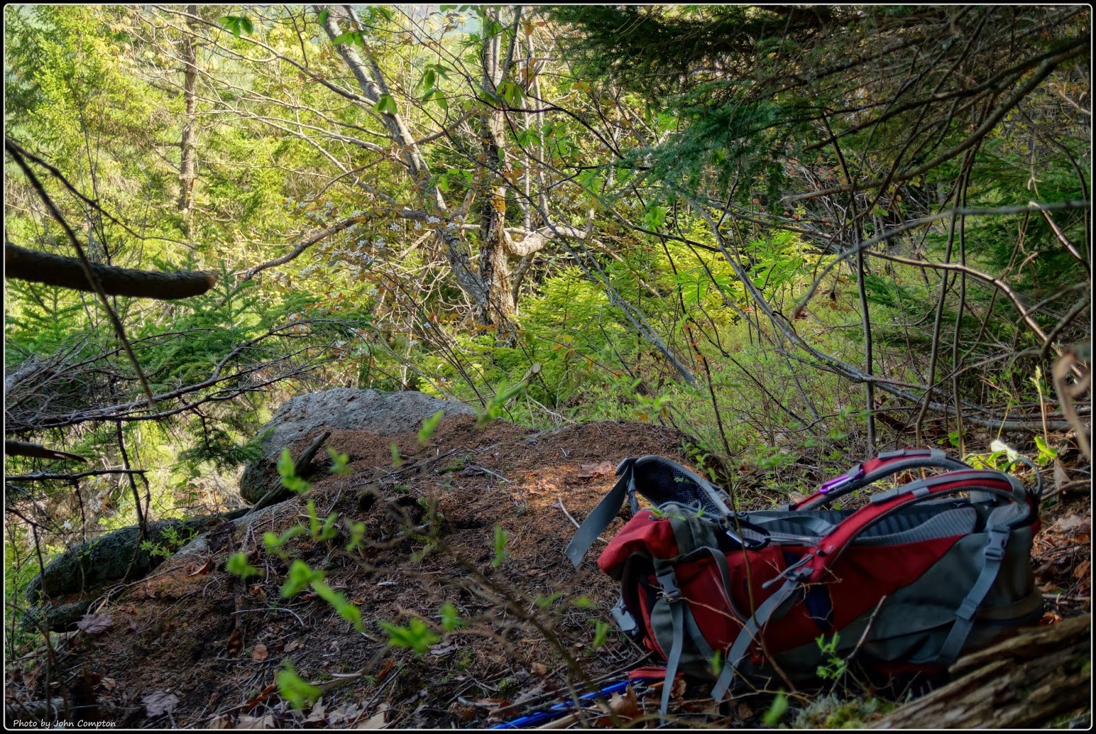
When I completed the climb to the top of the ledge, my pack was exhausted and it keeled over on its back! :-)
It was one of those 'you-had-to-be-there' moments in order to fully appreciate the humor. The pack was placed upright against a tree, but then slowly slid down the trunk and landed on its back with a slight thud where it then resembled a road-kill animal with feet in the air.
|
 |
| Upon returning to my parked car along Rt. 302, I did a short trek off the side of the road to Bemis Brook where I snapped this photo. |
 |
| And, on my way back home I stopped at the Rt. 302 pull-off (near Arethusa Falls Road) and snapped this zoomed image of Mt. Washington. |
ADDITIONAL READING:
Click/tap this LINK to read an interesting article containing information
about the Mt. Bemis area.


2 comments:
Talk about steep! 1100 feet in 0.8 miles is a real lung-burner.
The scenery on this hike was spectacular, as usual, John.
But I especially liked the photo of your exhausted pack and your description of how it slid slowly down the tree trunk! Many times my pack also takes this exhausted position! (I think it's a form of protest.)
Hi Rita . . . glad to know that you also own a backpack that will sometimes take on an “exhausted position”. :-)
It was indeed a steep hike, but I knew this going into the hike. I allotted plenty of time to do the hike in a slow/leisurely manner, which was helpful, but the ‘verticality’ was still there! :-)
My apologies for the delayed reply, but for whatever reason, I’m no longer receiving e-mail notification when a comment is posted to my blog! I’m trying to determine what is causing the problem.
John
Post a Comment