
It's
probably fair to say that most folks hike to Black Cap Mountain during
the warm weather months when you can drive to the trailhead parking lot at the top
of Hurricane Mountain Road. Therefore, this
trek is likely regarded by many as a relatively mild-mannered adventure. After all, it's only 2.6 miles
(round-trip) with an elevation gain of about 675 ft.
However, during the cold weather months this hike is less easygoing. Rather than driving to the trailhead, you need to begin hiking from the bottom of Hurricane Mountain Road where it is gated and closed to automobile traffic for the winter season. As a result, this trek becomes a round-trip journey of about 6 miles with an elevation gain of nearly 1,700 ft.
However, during the cold weather months this hike is less easygoing. Rather than driving to the trailhead, you need to begin hiking from the bottom of Hurricane Mountain Road where it is gated and closed to automobile traffic for the winter season. As a result, this trek becomes a round-trip journey of about 6 miles with an elevation gain of nearly 1,700 ft.
There are rewards for doing this as a wintertime trek
with its extra mileage and greater elevation gain. For one thing, you can
almost be assured of having the entire mountain all to yourself. And, without the summertime crowds, the
overall ambiance of this place becomes akin to a destination that is more
remote.
As I've mentioned (perhaps ad nauseam) in previous blog reports, my strong preference is to do something that is new to me on each of my hikes. It can be something such as visiting a new destination, or using a new route to hike to a previously-visited spot.
Considering the above, it occurred to me that even though I'd hiked to Black Cap Mountain at about this same time last year (click HERE to read my report), this could become a "new" hike for me if I were to incorporate the Red Tail Trail into my route. Several years ago, I had hiked a short segment of this trail, but never the entire trail. (Note: This pathway is actually a mountain bike trail during the warm weather months, but during winter conditions it's sometimes used as a hiking corridor to Black Cap.)
And so, my plan was to do a loop hike. I would ascend by hiking about 1.7 miles up Hurricane Mountain Road to the trailhead for the Black Cap Trail, and then hike the 1.3 mile distance of that trail to the summit of the mountain. For the largest segment of my descent route, I would use the Red Tail Trail. (There is a map at the end of this report which shows my entire route.)
The ascent along Hurricane Mountain Road only takes about
45 minutes, and really isn't that boring.
The corridor is surrounded by picturesque woodlands, and the lower end
of the road parallels an attractive brook with gentle cascades.
Regarding my descent on the Red Tail Trail, I was pleasantly
surprised to see that there was an old snowshoe track. Although the corridor is pretty well defined,
the track made it easier to follow since this trail is unblazed. In terms of mileage, you really don't save
much by using the Red Tail Trail.
However, as compared to Hurricane Mountain Road, it provides a more
scenic descent route since there are enjoyable views of Kearsarge North and the
Presidential Range at several old logging cuts along the way.
Due to the intermittent soft spots in the snowpack all along the route, snowshoes were worn for both the ascent and descent. This provided a more stable platform and allowed for a more even stride.
Black Cap (2,369 ft elevation) is the tallest mountain in the Green Hills Preserve (Click HERE to read more about this wonderful parcel of land). The summit area has many open ledges which provide numerous panoramic views of well-known landmarks in the distance, including Mt. Chocorua, Mt. Carrigain, as well as mountaintops in the Sandwich Range, Franconia Range, Twins-Bond Range, and a host of other mountains and lakes.
Although I do love visiting Black Cap, it's frustrating that I can never seem
to photographically capture its magic.
It could be my lack of skill, or perhaps the mountains are simply too
far away to achieve the same dramatic impact that is seen with the naked-eye. Regardless, shown below are a few snapshots
taken during my trek.
 |
| My favorite vista from Black Cap is looking northward where the view of Kearsarge North dominates the scene and is flanked by the Presidential Range on its left and the Baldface Range on its right. |
 |
| LEFT SIDE: Some of many peaks in Caribou-Speckled Mountain Wilderness; RIGHT SIDE: Some of many ponds and lakes in western Maine near New Hampshire border |
 |
| View of Moat Mountain Range in foreground with various peaks in the Sandwich Range in the background |
 |
| View of Pleasant Mountain in Maine. (A monadnock is defined as an isolated rock hill, knob, ridge, or small mountain that rises abruptly from a gently sloping or virtually level surrounding plain. Appears to me that Pleasant Mountain meets this definition!) |
 |
| Snapshot taken during ascent along Hurricane Mountain Road |
 |
| Snapshot taken from one of several old logging cuts along the Red Tail Trail |
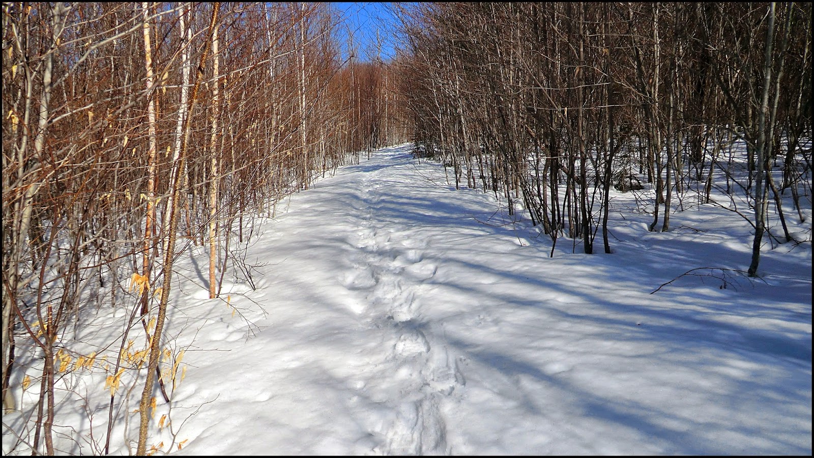 |
| Another snapshot taken along the Red Tail Trail. Although there are a few tricky twists and turns along this unblazed trail, the corridor is generally well defined, as shown here. |
 |
| Nothing special, just a snapshot taken of the brook that flows adjacent to the Hurricane Mountain Road at its lower end |
 |
| The route for my loop hike is highlighted in pink. The resolution for this map is poor. By going to the Green Hills Preserve website (click HERE), the map can be viewed in its original form, and can be downloaded and printed. |
~ THE END ~
6 comments:
Hmmm . . .hope this isn't a double post, and now I can't remember half of what I typed! At any rate, nice job of creating different trek to the same place! I think it is hard to capture the beauty of some place in a photo. Maybe that's what inspires some people to go out on treks - to see the beauty of a place through their own eyes!
Thanks Summerset for your compliment about doing a nice job of creating a different trek to a spot previously visited. I enjoy the challenge of finding new hikes, or new ways of doing ‘old’ hikes. And speaking of challenges, no matter how good one’s photographic skills might be, it can oftentimes be very challenging to capture the beauty of a place in a photo. And so, as you imply, there’s really no better way to experience a place than to see it through your own eyes.
John
This is really nice! The Green Hills are fun to visit in any season (though I admit, I haven't been in winter, so it's all new to me). Are you aware that The Nature Conservancy is campaigning right now to add 1,300 acres to the preserve? If you want to help create even more new routes to explore, you can support the effort here: www.nature.org/LetsGrowGreenHills
Megan, thanks for reading my blog posting, and thank you for including a link regarding the “Let’s Grow Green Hills” campaign. This is a very worthy cause and I wish the Conservancy great success in raising the funds needed to add the additional acreage to the Preserve. I looked at the ‘Project Map’ and can see that the proposed acquisition would indeed be a very desirable parcel of land.
John
Nice report and great photos John. I, almost, hiked Black Cap a couple of times this last winter. Didn't make it for various reasons. But the reason I wanted to is for what you pointed out. Having the whole mountain to myself. It's always nice when you can do that.
Thanks for sharing,
Joe
Hey Joe . . . Really appreciative of you dropping by to read my blog and for taking time to post your kind words.
This is a very nice hike to do in late winter/early spring once the snowmobilers have finished their season.
Also, there is still one more loop that I want to try next winter. It's too complicated to explain here, but it would involve the Cranmore Trail combined with a bit of a bushwhack.
Thanks again!
John
Post a Comment