If you do some reading about beavers, you'll discover
that their ability to change the landscape is second only to humans. By building dams, beavers create wetlands
which support biodiversity that rivals that of tropical rain forests.
In addition, there are also some aesthetic paybacks from beaver
activity. The wetlands and ponds create natural clearings that allow open views of the surrounding terrain. These vistas sometimes rival those seen from
mountaintops and ledges. Because of these
viewing opportunities, I will sometimes seek out beaver ponds as a hiking
destination.
Although I've visited beaver ponds at all seasons of the
year, winter is a particularly opportune time since the ponds are frozen. This allows easier access to these areas
which are often surrounded by boggy areas that are difficult to traverse during
warm weather months.
During the past few weeks of January, I've visited a couple of beaver ponds that were new destinations for me. One of the ponds is located about a mile south of the Gale River Loop Road near Bethlehem, NH. My journey to the pond was launched from a point near the trailhead for the Garfield Trail. A logging road was used for the beginning part of the trek, and the final portion involved a bushwhack of about 0.5 mile which was overall relatively easy. However, at one point I did encounter a nasty section of downed trees which required considerable zigzagging to work through the clutter.
Shown below are scenes from my visit to the beaver pond described above. In the first two photos, the actual beaver pond in behind me. The views are overlooking a wetlands/meadow area formed by beaver activity.
 |
| Southward vista of ridgeline between Mt. Garfield and North Lafayette |
 |
| Eastward vista of Twins on distant horizon (far left) and Mt. Garfield (right) |
 |
| Tracks made by a small animal who had also enjoyed a recent visit to the pond! |
The preceding photos and text described the pond that was visited as part of a calculated and well-planned visit. So now, here's the tale about a beaver pond
that was visited sort of by accident. As
the expression goes, "Haste makes waste"! Late in the day, an unexpected couple of
hours became available for hiking.
Without taking time to thoroughly plan the trek and familiarize myself
with the terrain, I hastily headed off for a bushwhack to a beaver pond on
Cheney Brook (located on west side of the East Pond Trail).
Once I arrived at what I thought was my destination, I suspected
something was wrong when the views weren't as I'd expected they would be. However, I had no time to snoop around since
daylight hours were waning, plus I needed to pick up my wife from work. Later in the evening when comparing the photos
I'd taken to those contained in Steve Smith's blog (click HERE), it became apparent that I'd overshot my mark and ended up at
a smaller pond adjacent to the main pond.
TOTAL HUMILIATION!
Shown below is a Google Earth image of the two beaver
ponds along Cheney Brook which I've dubbed as Big Cheney Pond and Little Cheney
Pond.
 |
| Google Earth image showing "Big Cheney Pond" and "Little Cheney Pond" |
And so with that bit of embarrassing explanation out of
the way, here are some other details about this adventure. I didn't run a GPS track, but roughly
guesstimate that the round-trip mileage for this trek was about 3.7 miles. Approximately 3 of those miles were on the
East Pond Trail, and the remaining 0.7 involved bushwhacking.
En route to the spot where I'd begin my bushwhack, I
needed to cross Pine Brook on the East Pond Trail. The ice on the brook appeared thin, and it
was punctuated with obvious gaps of open water.
I took a deep breath, hoped for the best, and made the crossing without incident (other
than frayed nerves)!
The photo shown below was taken as I approached the brook
crossing on the return leg of my journey.
It appeared just as daunting, regardless of which side of the brook you
were on!
 |
| The crossing of Pine Brook on the East Pond Trail |
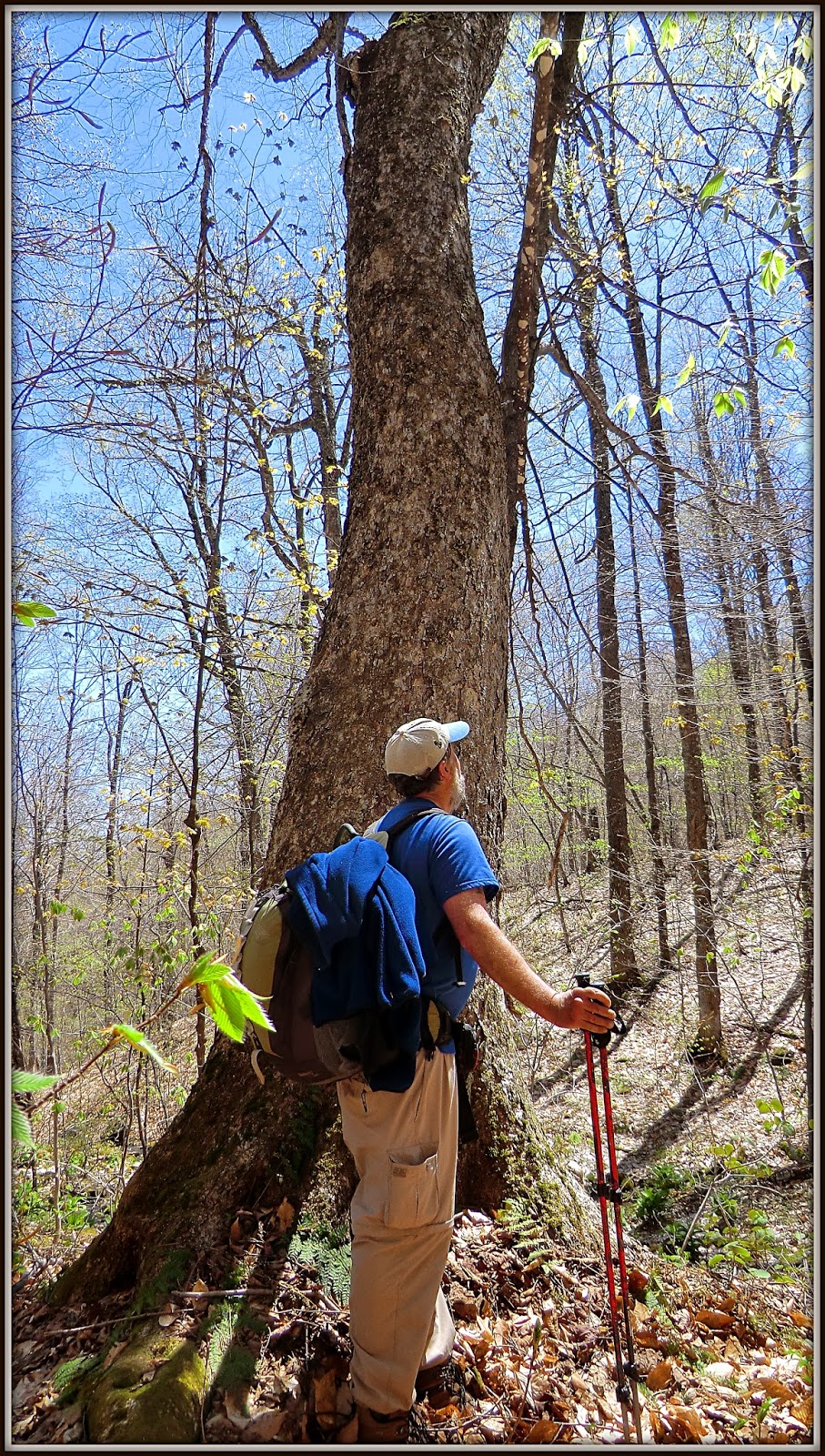
The early part of the bushwhack took me through some rather
thick patches of conifers. But before long, I was walking through a picturesque stand
of tall, stately trees.
 |
| Picturesque stand of tall, stately trees en route to beaver pond on Cheney Brook |
Despite being at the smaller of the two ponds, and
despite it being an unintended destination, the overall vista was still quite
pleasant. And on another positive note,
I'm always very keen on visiting new places, and this certainly qualified. However, I must add
that it would be preferable to do these visits by design, rather than by
chance!
 |
| Osceola ridge as viewed from a smaller beaver pond adjacent to the main pond) |
To sum it up, besides visiting natural
settings such as mountaintops, ledges, and waterfalls, the unheralded beaver
ponds are yet another resource for adding variety to my hiking adventures.